
Eratosthenes Measures the Earth
A shadow, a well and some geometry. Around 240 BCE a librarian in Alexandria used the Sun's shadows and simple geometry to estimate the size of the whole planet with striking accuracy.
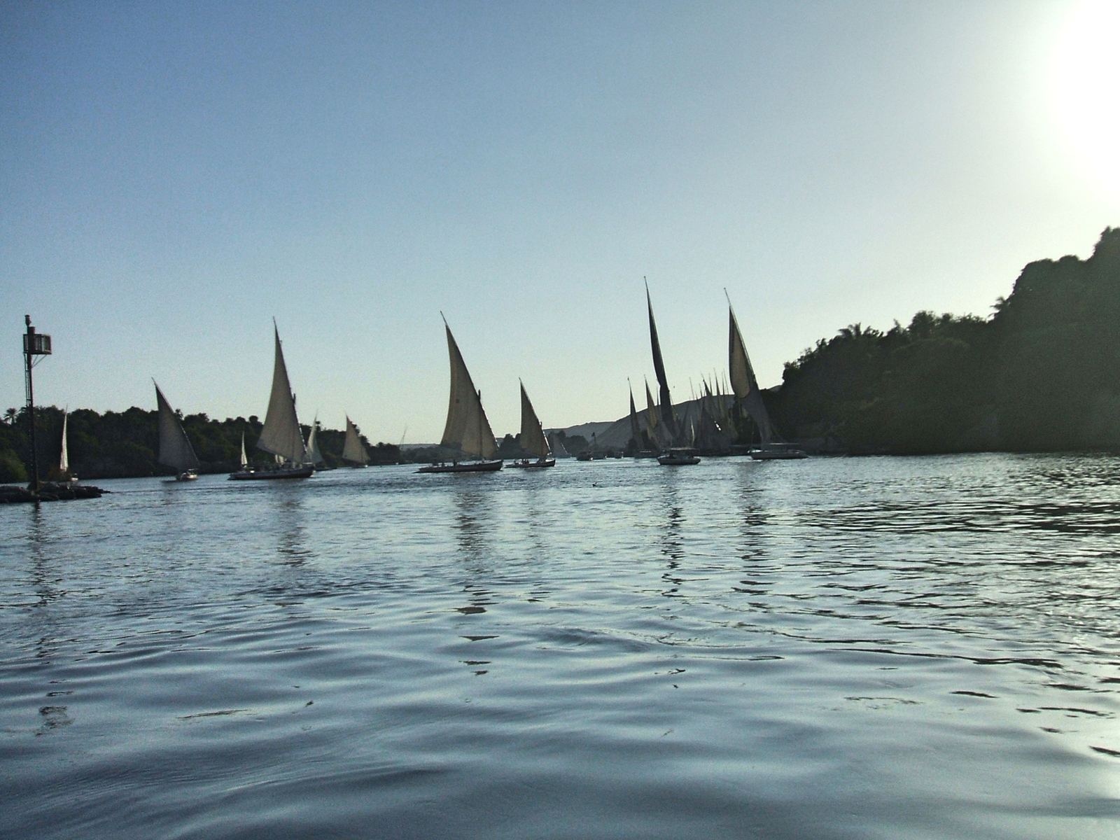
Feluccas on the Nile at Aswan, the ancient Syene: Pierre André Leclercq, CC BY-SA 4.0
The librarian who measured a planet
Eratosthenes was born around 276 BCE in Cyrene, in what is now Libya, and studied in Athens before King Ptolemy III invited him to Alexandria. There he became head of the great Library, the best-stocked collection of knowledge in the ancient world. He wrote on poetry, history, mathematics and astronomy, and he is credited with coining the word geography.
His most famous achievement, though, came from a puzzle about shadows. With nothing more than upright pointers, the Sun and a head for geometry, he estimated the size of the entire Earth.
Two cities, two shadows
Eratosthenes knew that at noon on the summer solstice, the Sun stood directly overhead at Syene, the city we now call Aswan, far up the Nile. Upright rods there cast no shadow, and sunlight shone straight down to the bottom of a well. At the same moment in Alexandria, to the north, an upright pointer still cast a short shadow.
He reasoned that the Sun is so far away that its rays arrive in parallel lines. If the ground were flat, both cities would see the same shadow. The difference meant the Earth's surface curves between them, and the angle of the Alexandria shadow, about 7.2 degrees, showed how much. That angle is one fiftieth of a full circle.
Doing the math
If the two cities are one fiftieth of the way around the globe, then the whole circumference is fifty times the distance between them. Professional pacers had reported about 5,000 stadia from Alexandria to Syene. Fifty times 5,000 gives 250,000 stadia.
How close was that? It depends on which stadion he used, a unit whose exact length historians still debate. On one common reading his figure works out to roughly 40,000 kilometers, very near the modern equatorial value of about 40,075 kilometers. He also made two small mistakes, assuming Syene lay exactly on the Tropic and directly south of Alexandria, but those errors happen to largely cancel out.
Why it still matters
His own book on the measurement is lost, and we know the method mainly through a later Greek writer named Cleomedes. Even so, the idea is so simple and powerful that classrooms around the world still recreate it, comparing shadows measured on the same day in different cities.
Eratosthenes showed that careful observation and clear reasoning could reach far beyond what anyone could walk or see. More than 2,200 years later, that is still the heart of science.
- Feluccas on the Nile at Aswan, the ancient Syene: Pierre André Leclercq, CC BY-SA 4.0
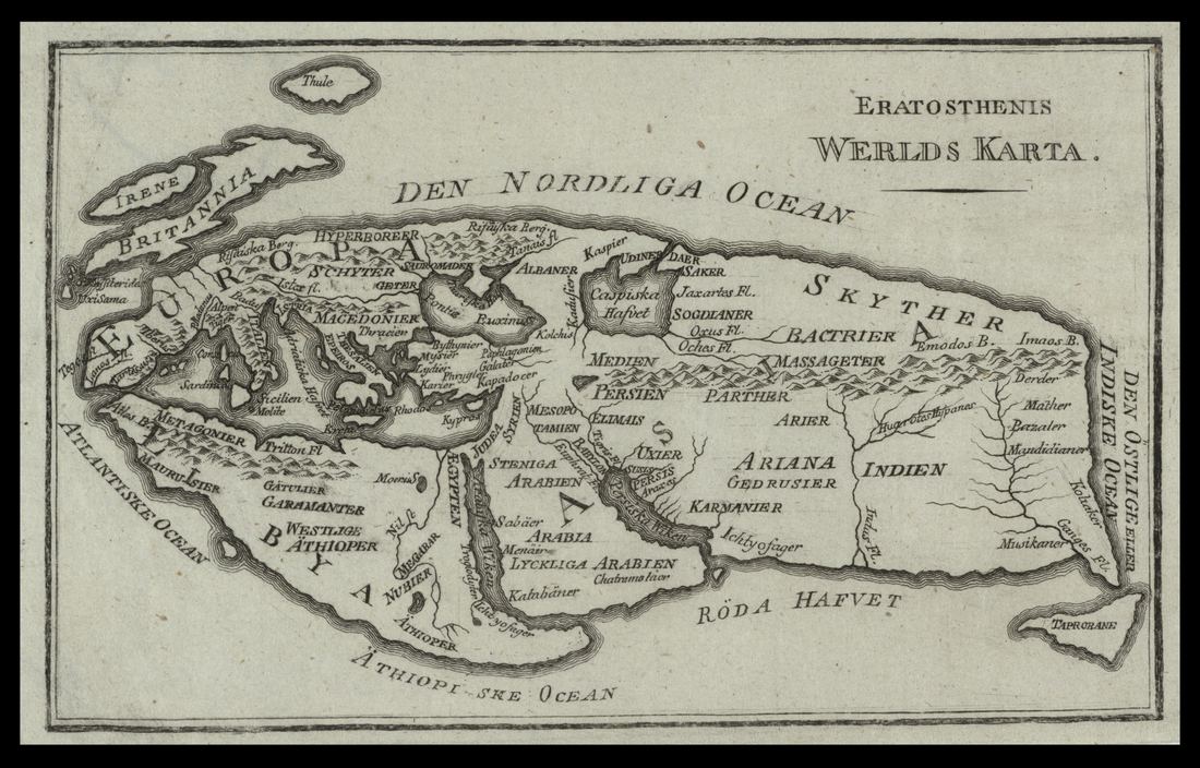
- A later reconstruction of Eratosthenes' map of the known world: Unknown engraver (Eran Laor Cartographic Collection, National Library of Israel), Public domain
Text written by Ancient Visionary.
.jpg)
.jpg)