
Roman Aqueducts: Rivers on Arches
Gravity, patience and a perfect slope. From the Aqua Appia of 312 BCE to the Pont du Gard and Segovia, how Roman engineers moved rivers of water for miles using gravity alone.
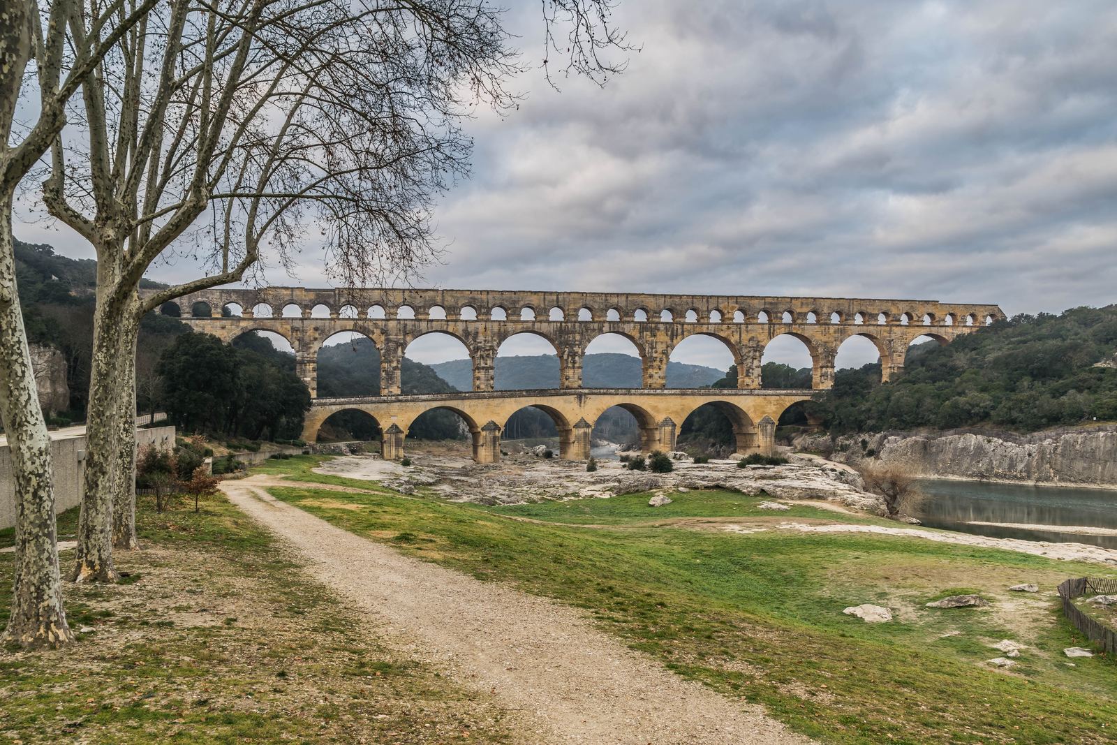
The Pont du Gard spanning the Gardon river in southern France: Krzysztof Golik, CC BY-SA 4.0
Water that only flows downhill
A Roman aqueduct had one rule it could never break: water must always run gently downhill. There were no pumps. Engineers found a clean spring in the hills, then built a covered channel that dropped a tiny amount for every meter it traveled, all the way to a city fountain miles away.
Rome's first aqueduct, the Aqua Appia, was begun in 312 BCE under the official Appius Claudius Caecus. It ran about 16.6 kilometers, almost all of it underground, and fell only about 10 meters over its whole length. By the third century CE the city was fed by eleven aqueducts, supplying public baths, hundreds of street fountains and a population that may have reached a million.
The art of the gentle gradient
The Roman architect Vitruvius advised a slope of no less than 1 in 4,800. Surveyors used sighting tools such as the groma and a long leveling table called the chorobates to lay out the route, and the channel wound around hills to hold its line. Where a valley got in the way, builders either raised the channel on arches or sent the water through sealed pipes as an inverted siphon.
The Nimes aqueduct in southern France shows how precise this could be. Its source sits only about 17 meters higher than the city, yet the channel ran roughly 50 kilometers. Its showpiece, the Pont du Gard, built around the middle of the first century CE, stands about 49 meters tall on three tiers of arches, and the bridge itself descends just 2.5 centimeters across 456 meters. Its blocks were cut to fit so well that most were laid without mortar.
Segovia's stone ribbon
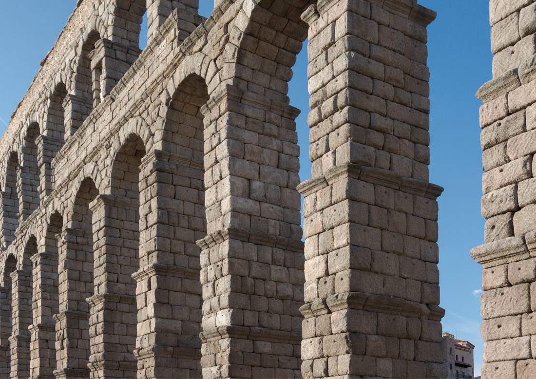
In central Spain, the aqueduct of Segovia carries its channel over the city on 167 arches, reaching about 28.5 meters at its tallest point, foundations included. Built around the late first or early second century CE, it kept delivering water until 1973, which makes it one of the longest-serving pieces of infrastructure anywhere. The Old Town of Segovia and its aqueduct joined the UNESCO World Heritage List in 1985, the same year as the Pont du Gard.
Frontinus, Rome's water commissioner
Keeping all this running was a full-time job. Augustus created the post of curator aquarum, or water commissioner, and in 97 CE the senior statesman Sextus Julius Frontinus took the role. He wrote a detailed report, De aquaeductu, recording the aqueducts' histories and capacities and complaining about illegal pipes, leaks and tree roots damaging the channels.
His report survives, and it is the best guide we have to how an ancient city managed its water. Many arches still stand some two thousand years later, quiet proof that patience and a perfect slope can move a river.
- The Pont du Gard spanning the Gardon river in southern France: Krzysztof Golik, CC BY-SA 4.0
- The two-tier arcade of the Roman aqueduct of Segovia, Spain: Jebulon, CC0
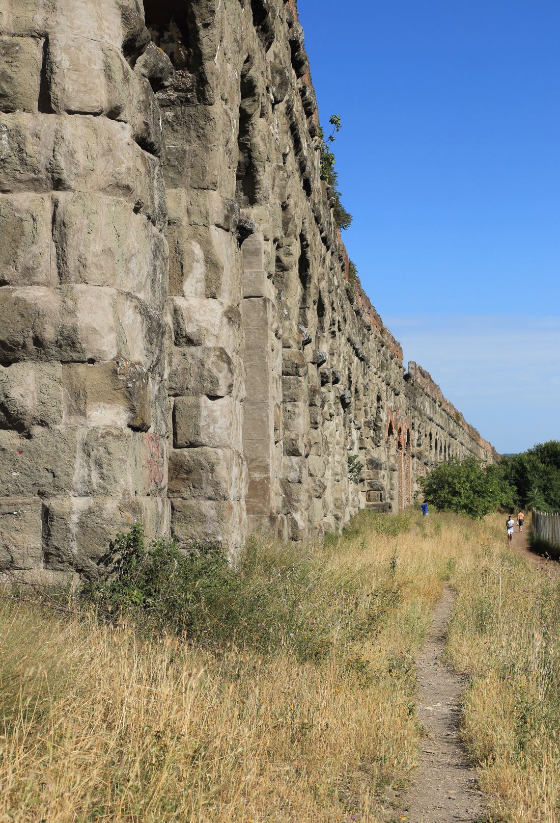
- The Aqua Claudia in Rome's Parco degli Acquedotti: Estormiz, CC0
Text written by Ancient Visionary.
.jpg)

